Photo credits
Southern Oregon, as photographed by the people who look after it.
Most of the landscapes on this site come from the Bureau of Land Management, the U.S. Forest Service, and the National Park Service. Here's who took each one and the license it's used under.
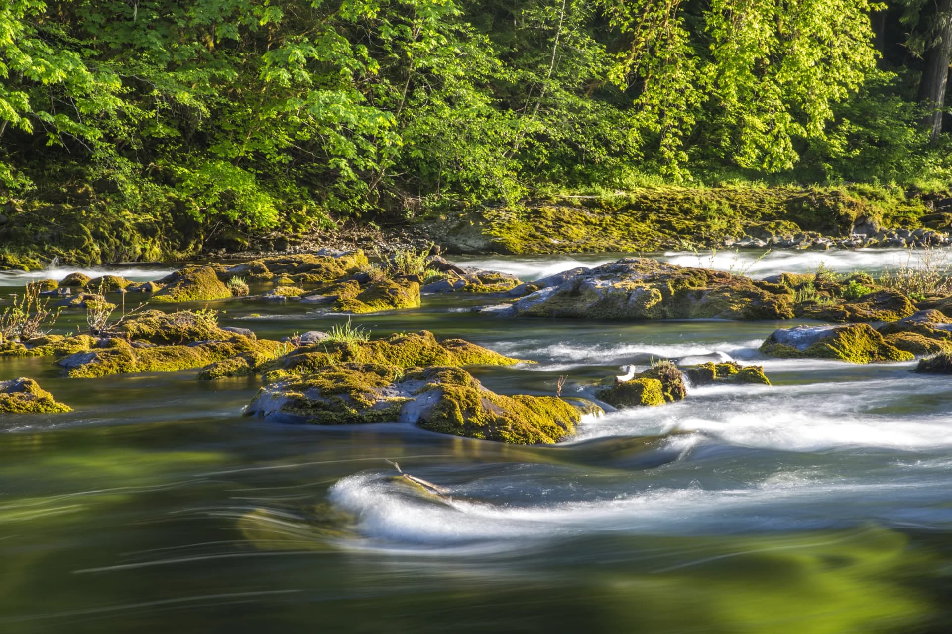
North Umpqua River, Douglas County
- Photographer
- Bureau of Land Management Oregon & Washington
- License
- CC BY 2.0 · U.S. government work (public domain); published by BLM on Flickr under CC BY 2.0.
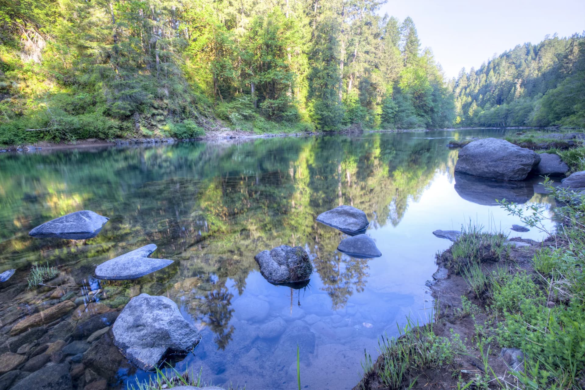
North Umpqua River, Douglas County
- Photographer
- Bureau of Land Management Oregon & Washington
- License
- CC BY 2.0 · U.S. government work (public domain); published by BLM on Flickr under CC BY 2.0.
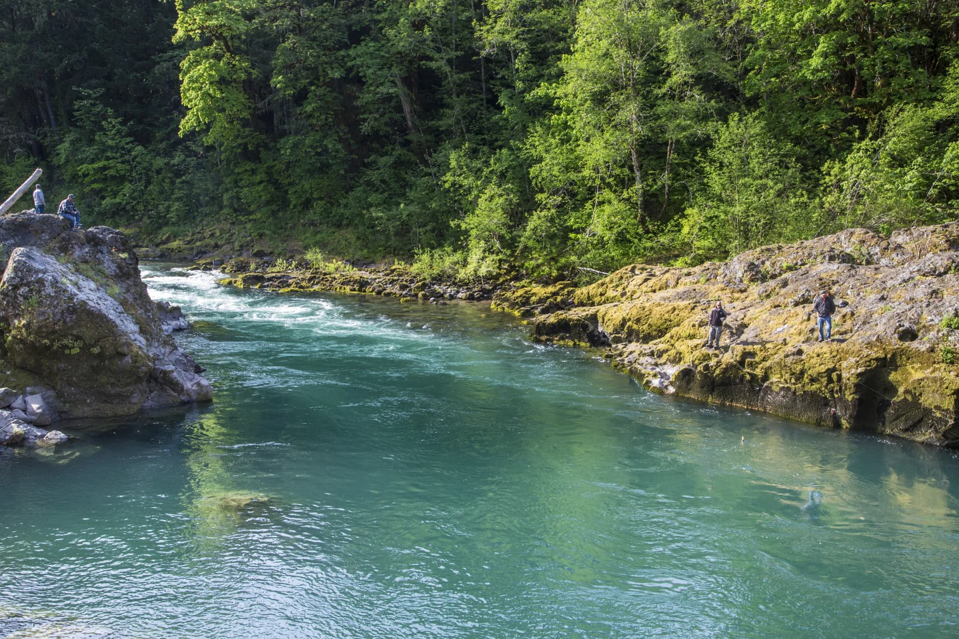
North Umpqua River, Douglas County
- Photographer
- Bureau of Land Management Oregon & Washington
- License
- CC BY 2.0 · U.S. government work (public domain); published by BLM on Flickr under CC BY 2.0.
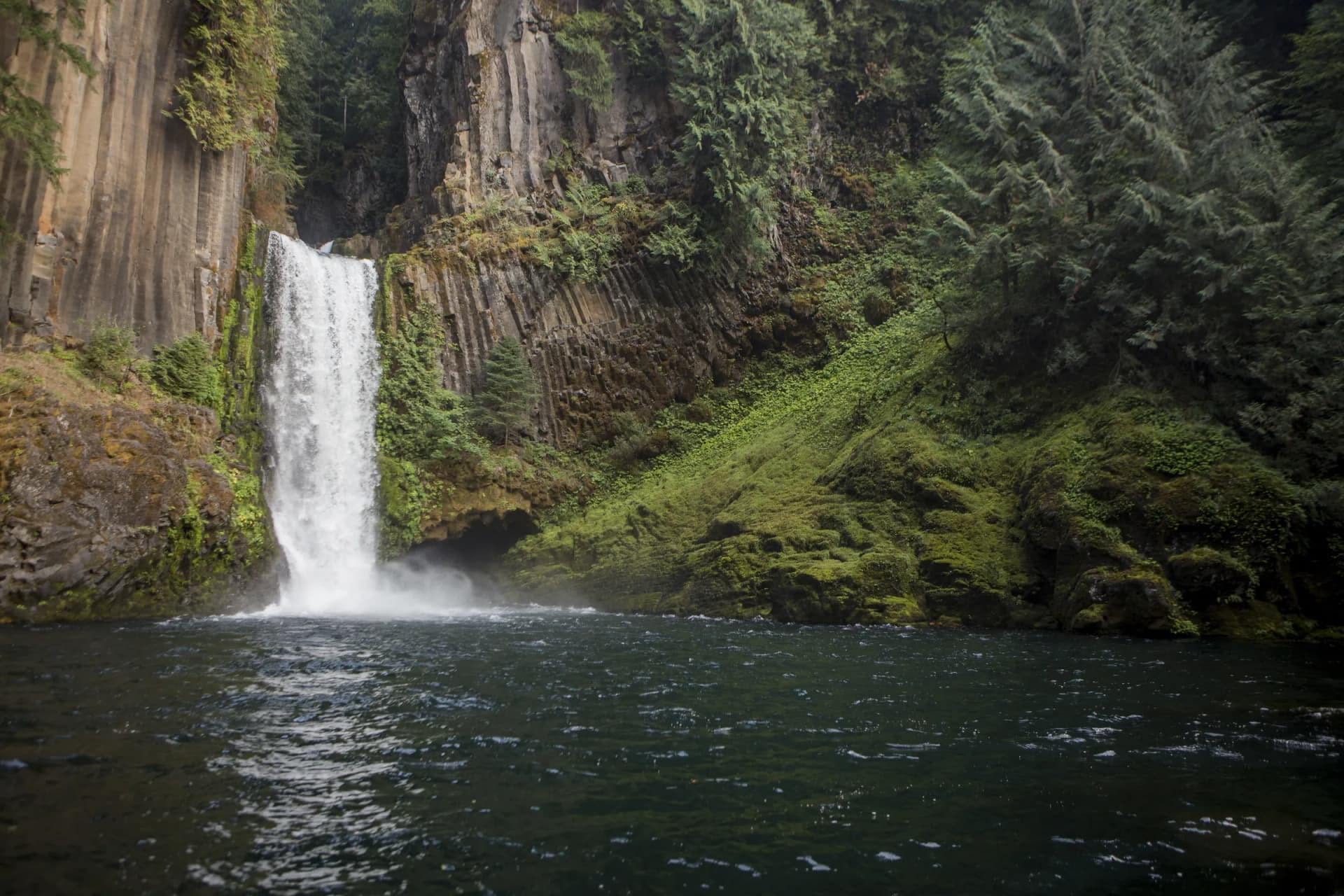
Toketee Falls, Umpqua National Forest
- Photographer
- U.S. Forest Service, Pacific Northwest Region
- License
- Public domain · U.S. government work (public domain).
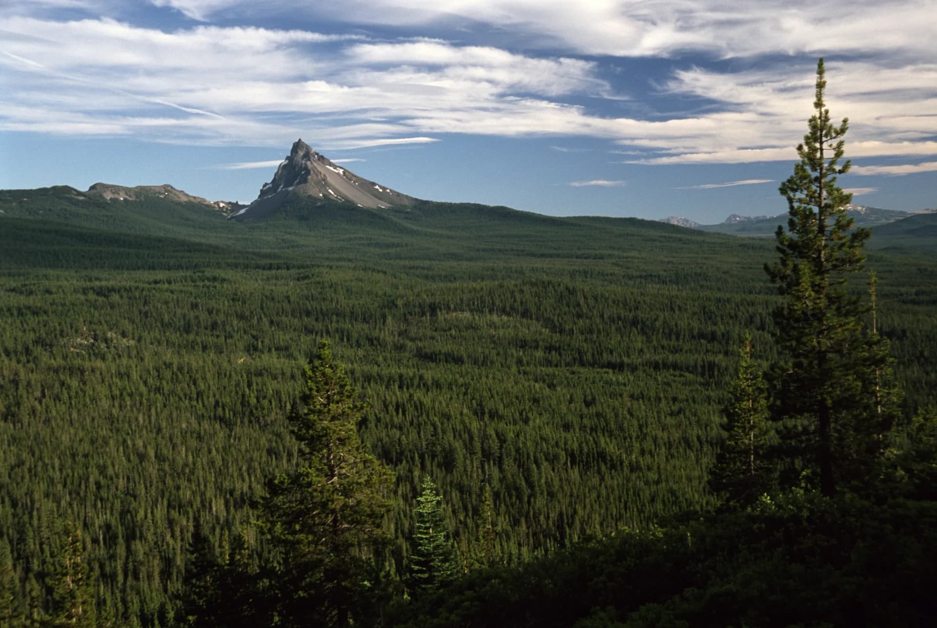
Mount Thielsen, Umpqua National Forest
- Photographer
- U.S. Forest Service, Pacific Northwest Region
- License
- Public domain · U.S. government work (public domain).
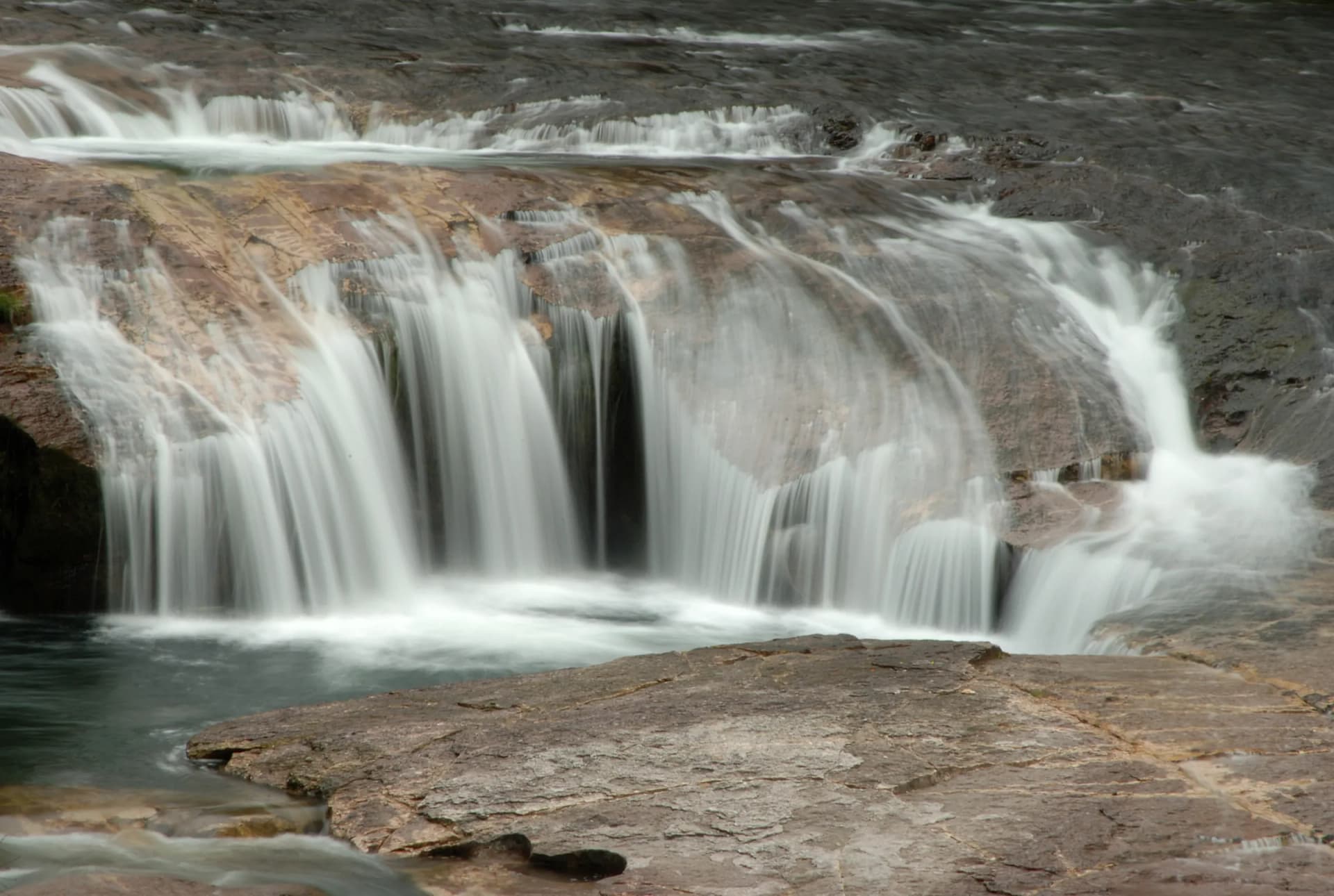
South Umpqua Falls, Douglas County
- Photographer
- U.S. Forest Service, Pacific Northwest Region
- License
- Public domain · U.S. government work (public domain).
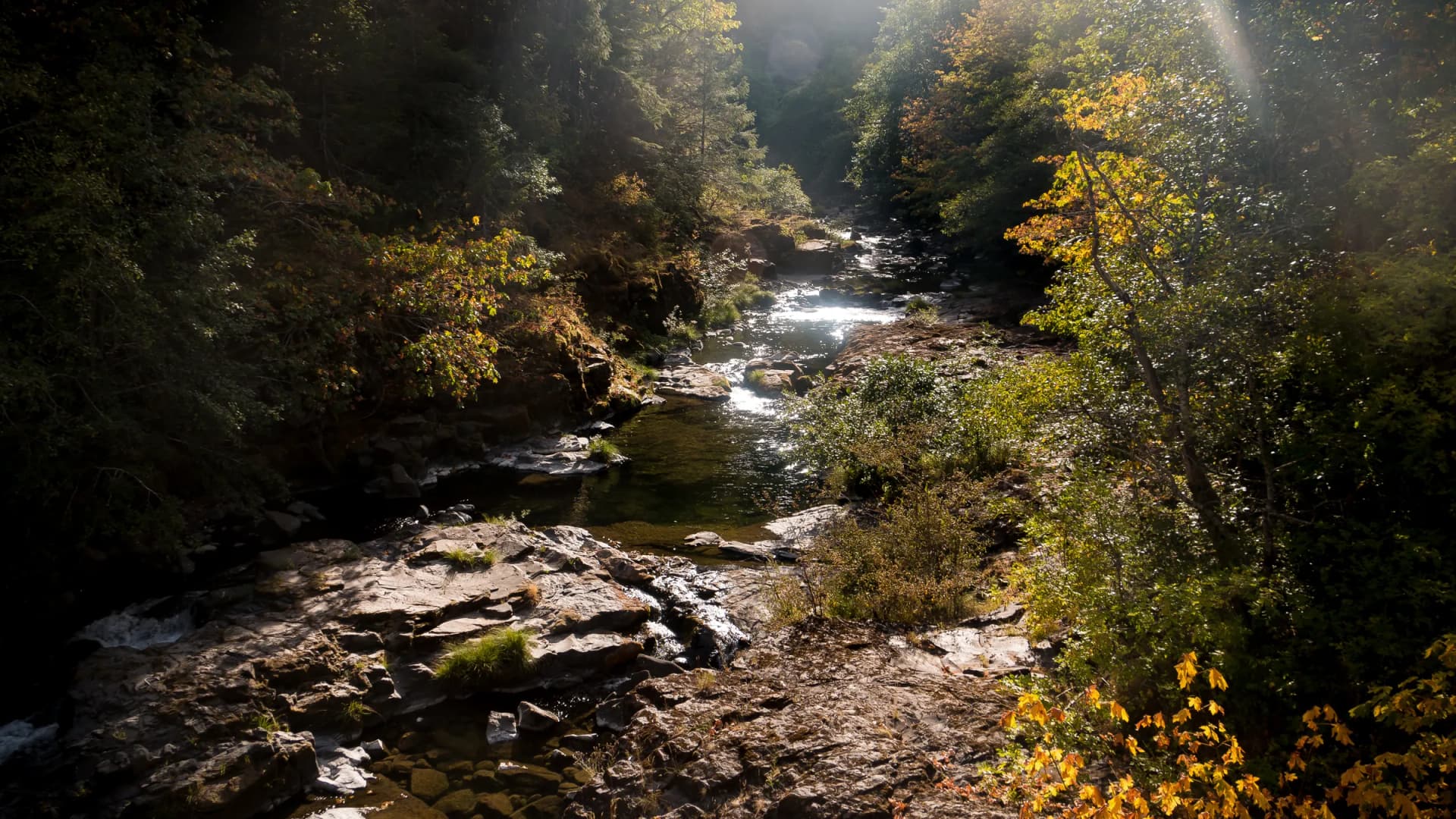
Canton Creek, North Umpqua watershed
- Photographer
- Bureau of Land Management Oregon & Washington
- License
- CC BY 2.0 · U.S. government work (public domain); published by BLM on Flickr under CC BY 2.0.
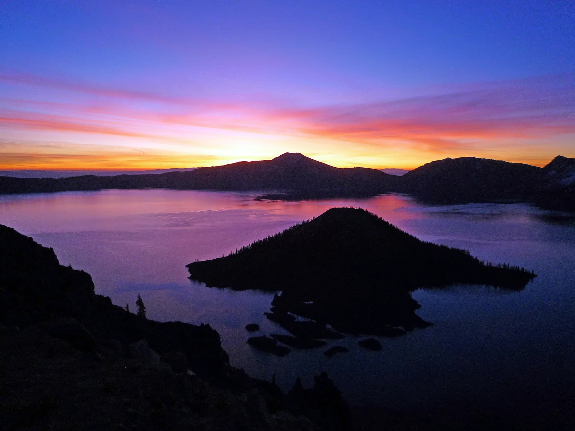
Crater Lake from Watchman Peak
- Photographer
- National Park Service
- License
- Public domain · U.S. government work (public domain).
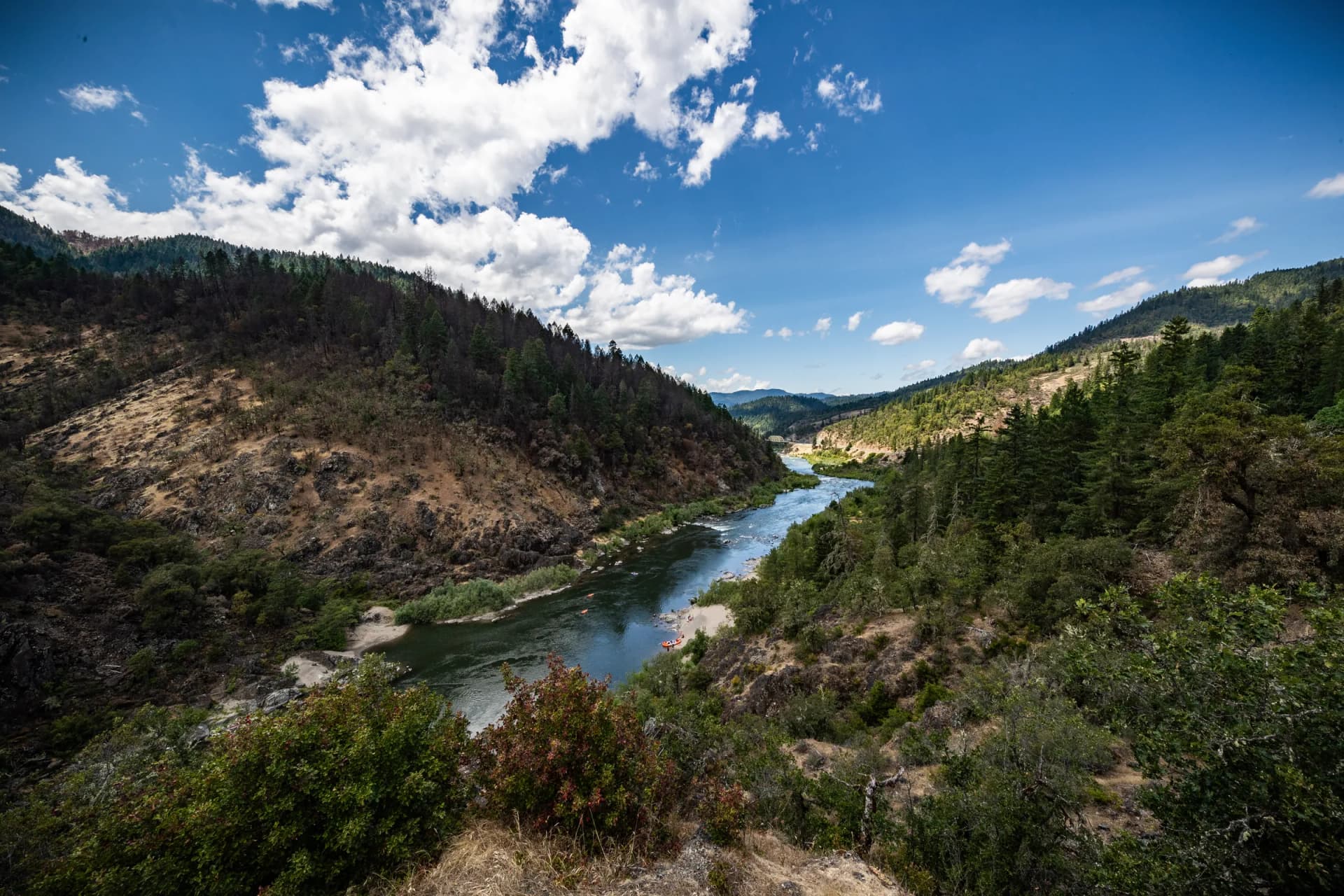
Rogue River, Hellgate Canyon
- Photographer
- Greg Shine, Bureau of Land Management Oregon & Washington
- License
- CC BY 2.0 · U.S. government work (public domain); published by BLM on Flickr under CC BY 2.0.
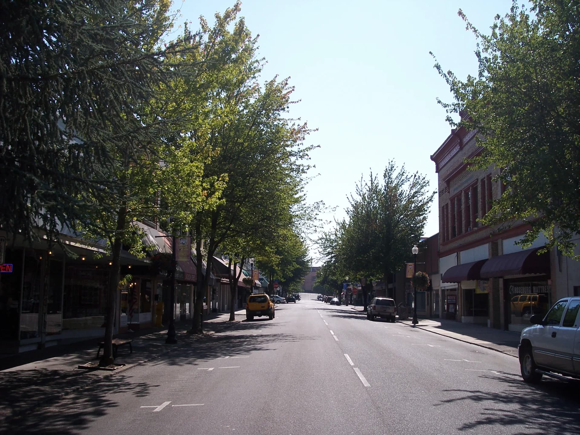
Downtown Roseburg
- Photographer
- Visitor7
- License
- CC BY-SA 3.0 · Cropped and color-graded; this adapted version is shared under CC BY-SA 3.0.
- Source
- Original
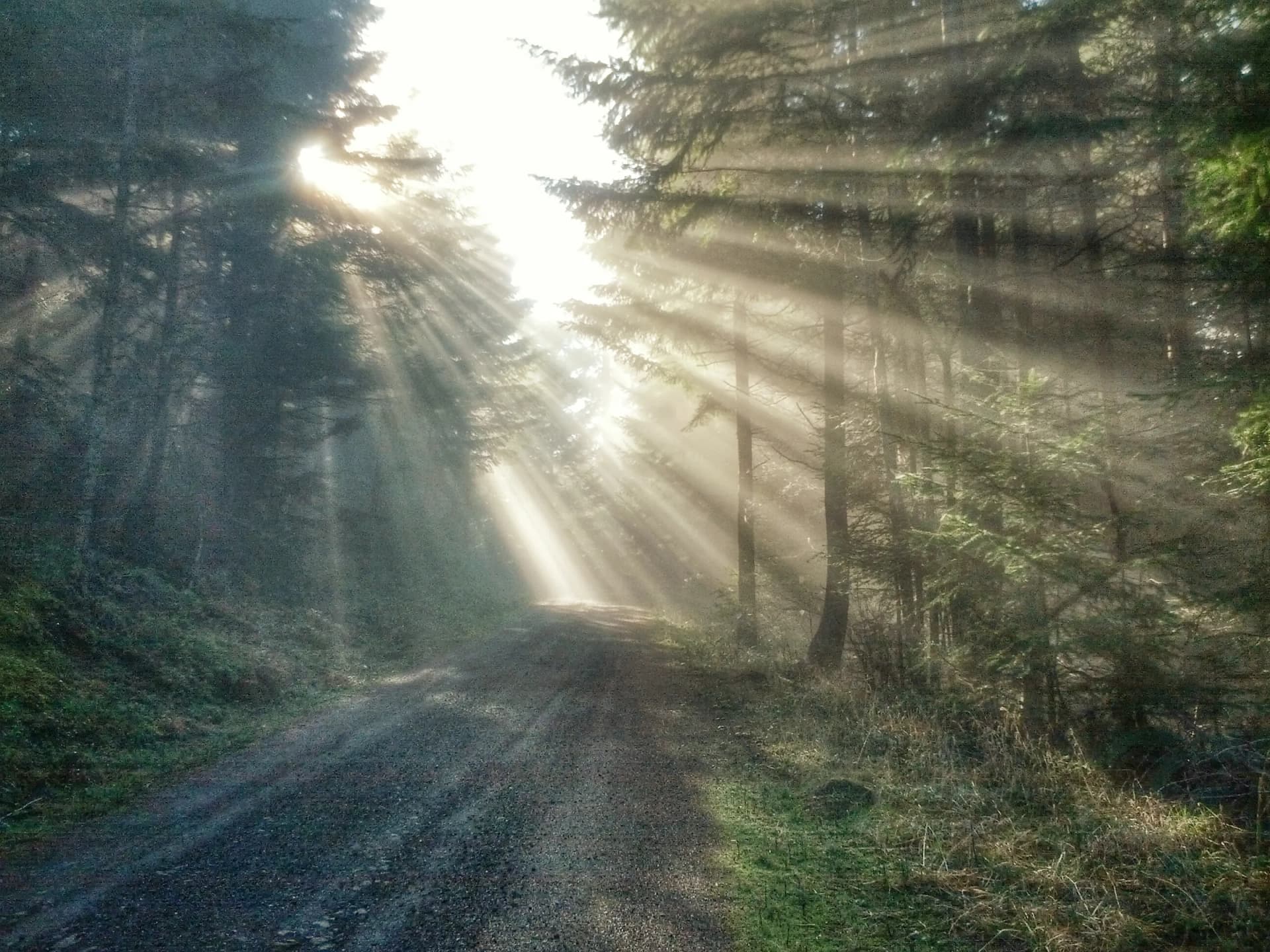
Forest road near Roseburg
- Photographer
- Jeremy Bochart, Bureau of Land Management Oregon & Washington
- License
- CC BY-SA 2.0 · U.S. government work (public domain); published by BLM on Flickr under CC BY-SA 2.0. Cropped and color-graded; this adapted version is shared under CC BY-SA 2.0.
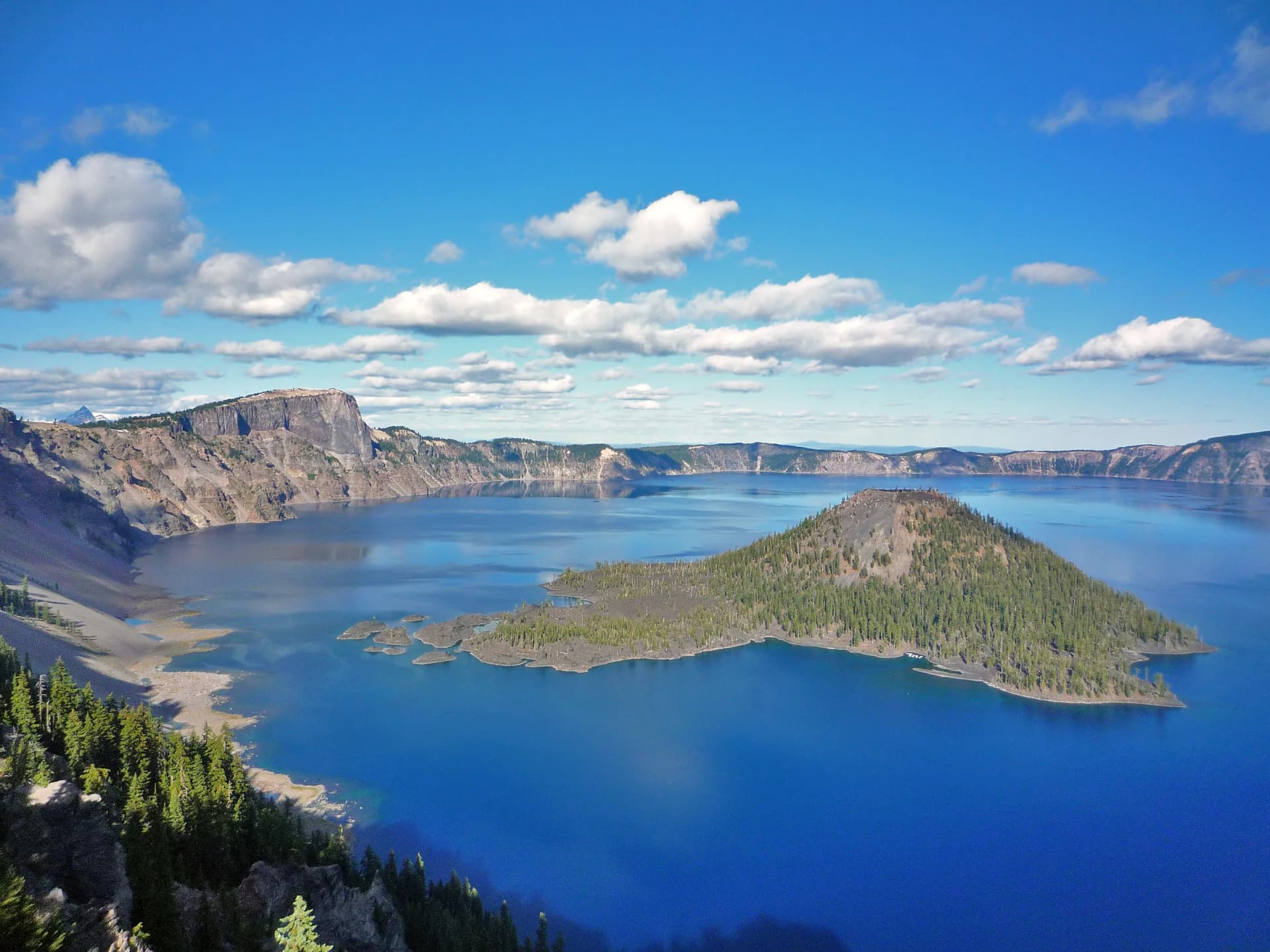
Crater Lake from the West Rim
- Photographer
- National Park Service
- License
- Public domain · U.S. government work (public domain).
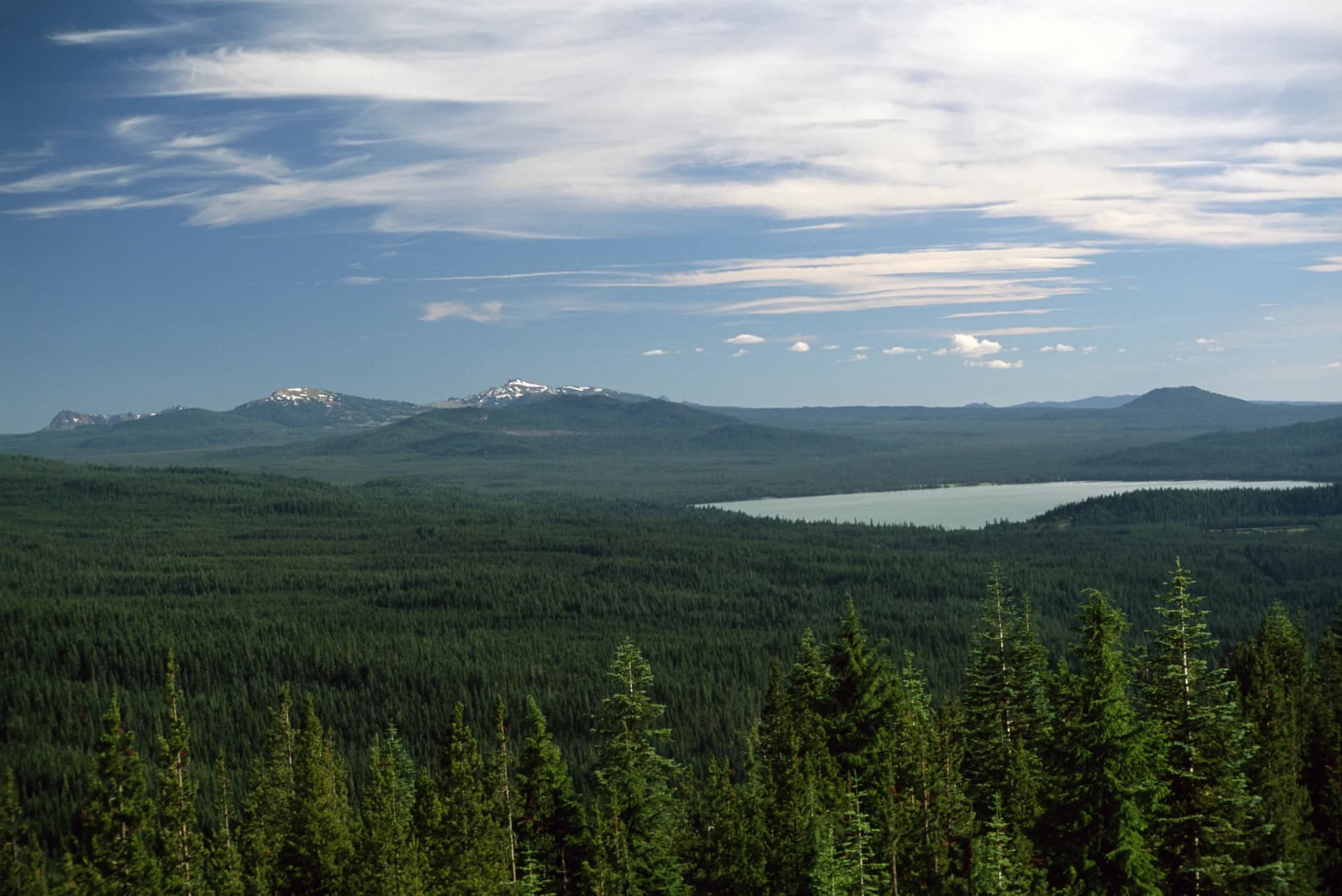
Lake and forest, Umpqua National Forest
- Photographer
- U.S. Forest Service, Pacific Northwest Region
- License
- Public domain · U.S. government work (public domain).
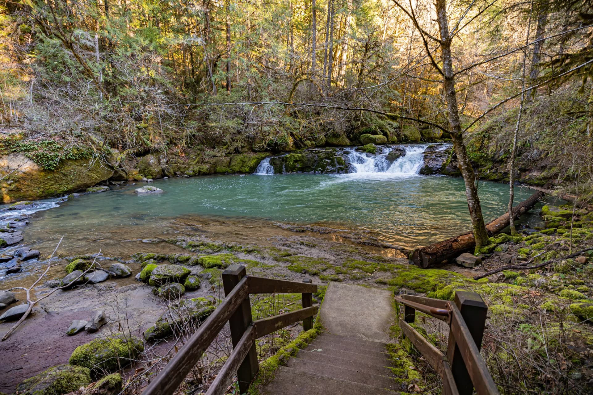
Cavitt Creek Falls, Douglas County
- Photographer
- Greg Shine, Bureau of Land Management Oregon & Washington
- License
- CC BY 2.0 · U.S. government work (public domain); published by BLM on Flickr under CC BY 2.0.
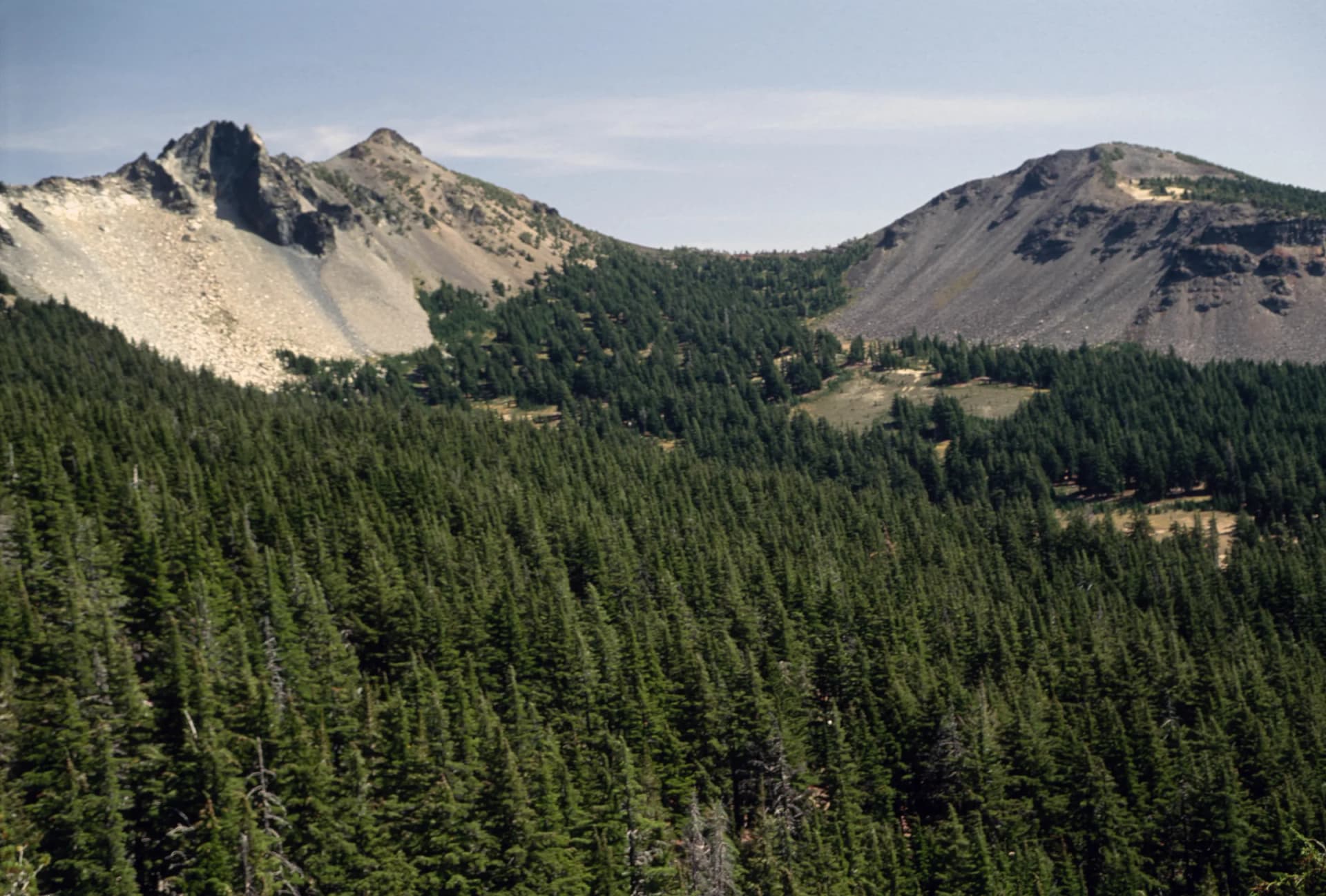
Mount Thielsen and valley, Umpqua National Forest
- Photographer
- U.S. Forest Service, Pacific Northwest Region
- License
- Public domain · U.S. government work (public domain).
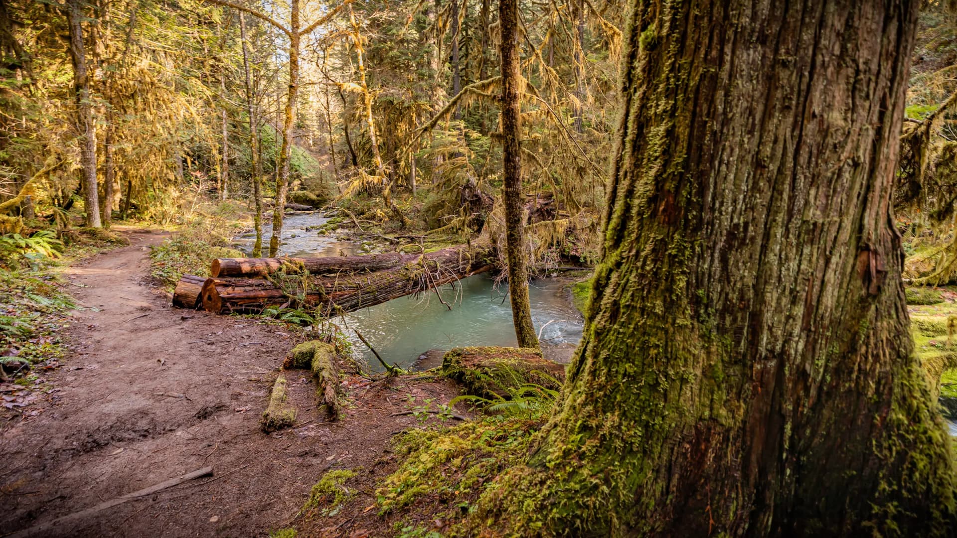
Wolf Creek Falls Trail, Douglas County
- Photographer
- Greg Shine, Bureau of Land Management Oregon & Washington
- License
- CC BY 2.0 · U.S. government work (public domain); published by BLM on Flickr under CC BY 2.0.
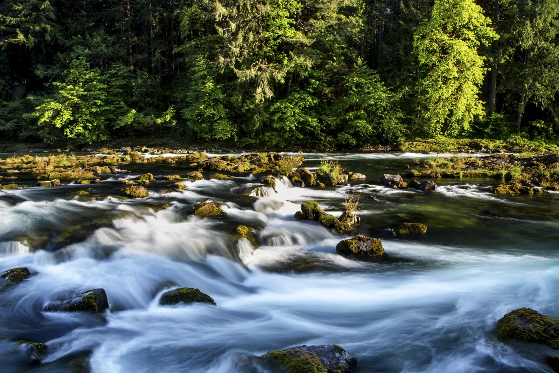
North Umpqua River, Douglas County
- Photographer
- Bureau of Land Management Oregon & Washington
- License
- CC BY 2.0 · U.S. government work (public domain); published by BLM on Flickr under CC BY 2.0.
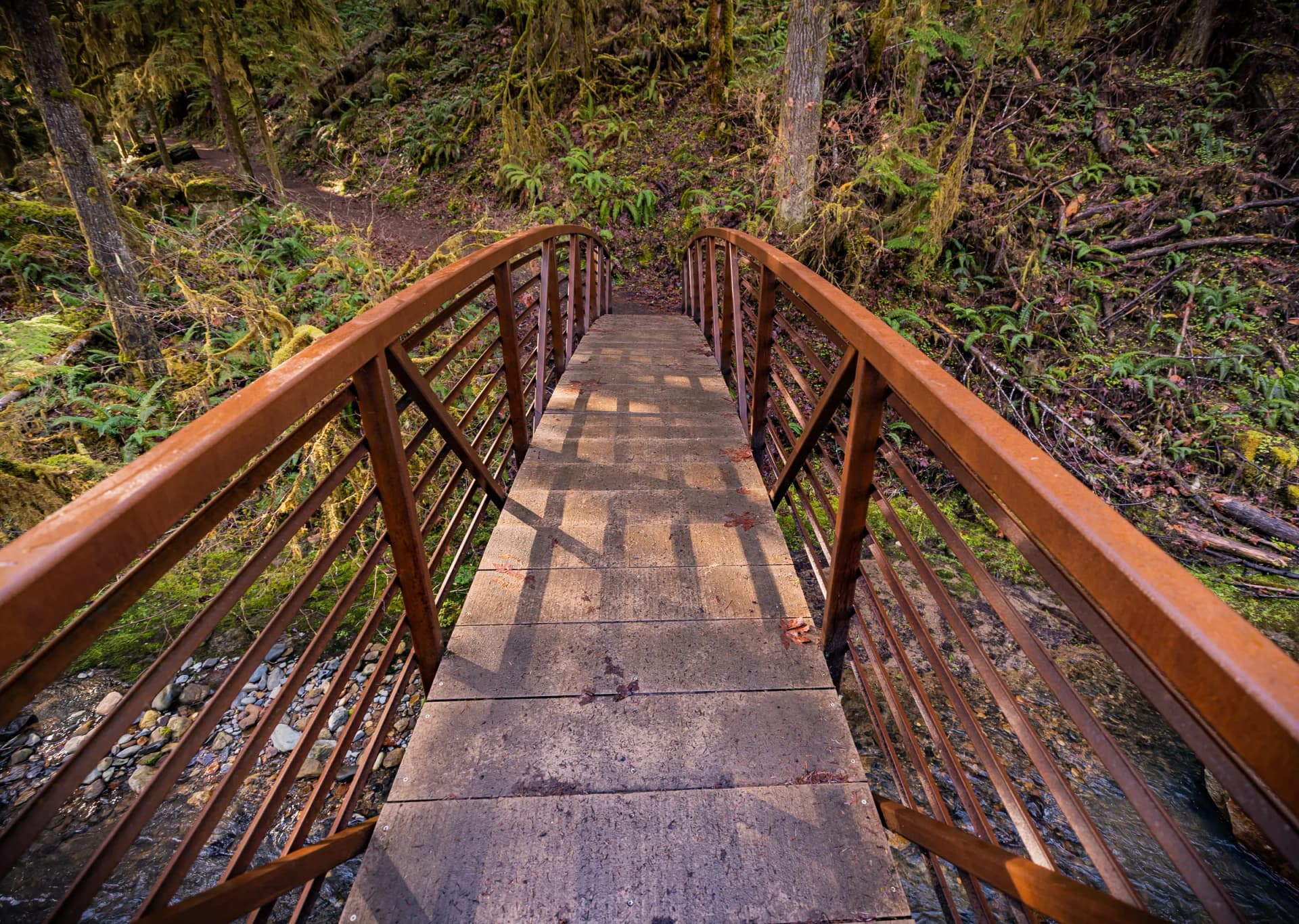
Wolf Creek Falls Trail, Douglas County
- Photographer
- Greg Shine, Bureau of Land Management Oregon & Washington
- License
- CC BY 2.0 · U.S. government work (public domain); published by BLM on Flickr under CC BY 2.0.
Photos are cropped and lightly color-graded for the site. Work by U.S. federal agencies is in the public domain; we credit it anyway.